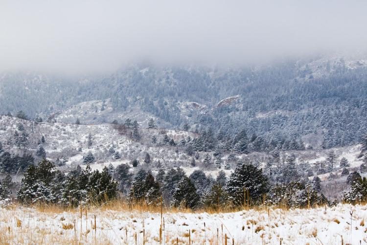
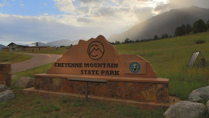


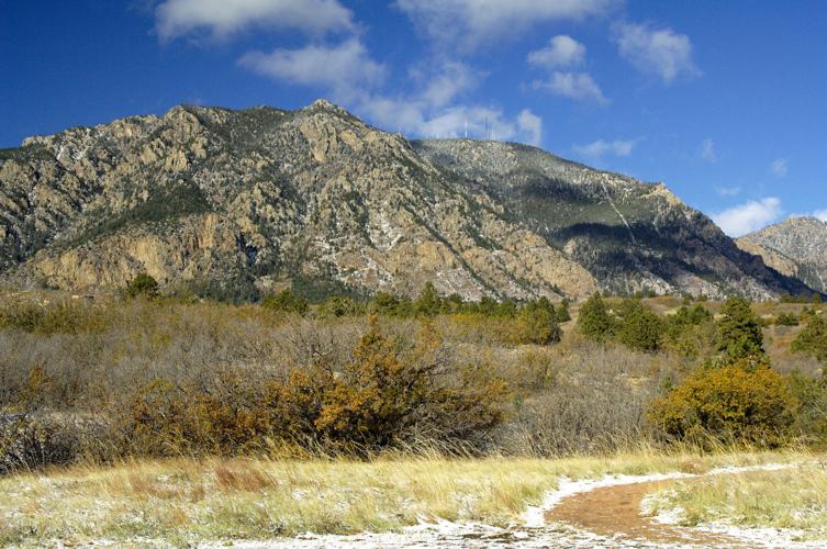
The second-most-famous mountain in the Colorado Springs skyline is Cheyenne Mountain, largely for the former NORAD complex buried deep beneath the mountain. This state park occupies the lower slopes and adjoining forests, offering a great network of 21 miles of trails just outside the city. With a campground, archery range and other activities, it makes a great close-to-home getaway for residents of Colorado Springs. There is no trail access to the top of the mountain, though such a trail has begun and will be completed in coming years.
MAPS
State Park Area
Campgrounds
Pro Tips
Recommended season(s): Year-round, though it gets very hot here June through August.
—R. Scott Rappold


(0) comments
Welcome to the discussion.
Log In
Keep it Clean. Please avoid obscene, vulgar, lewd, racist or sexually-oriented language.
PLEASE TURN OFF YOUR CAPS LOCK.
Don't Threaten. Threats of harming another person will not be tolerated.
Be Truthful. Don't knowingly lie about anyone or anything.
Be Nice. No racism, sexism or any sort of -ism that is degrading to another person.
Be Proactive. Use the 'Report' link on each comment to let us know of abusive posts.
Share with Us. We'd love to hear eyewitness accounts, the history behind an article.