


Winter transitioned to spring on Tuesday and Colorado's snowpack has finally risen to above average levels. At 106% on the spring equinox and holding steady, more storms lining up in late March and into April should keep or boost the snowpack through spring skiing season.
After slow accumulation starts in autumn and early-winter, Colorado's river basins and mountainsides are full with snow.
Data collected from the Natural Resources Conservation Service from the end of 2023 showed Colorado's snowpack was following 2001-02 winter's snowpack average, hovering around only 67% of average.

The snow water equivalent map for Colorado on Jan. 3, 2024 shows the state's median snow pack at 67% of average. The black line represents winter 2023-24, which has been trending along with winter 2001-02's line, a winter that was only 53% snow pack average on April 1, 2002.
This data suggested potential eerie signs that one, skiers and riders could have a dismal snow riding season, two, ski areas and resorts could lose out on valuable tourism dollars, and three, a drastic increase in potential wildfires during summer and early fall could arise.
But accumulations started adding up shortly after Jan. 1 and winter 2023-24 is on pace to be more than likely at least an average year.

The snow water equivalent map for Colorado on March 19, 2024 shows the state's median snow pack at 106% of average. The black line represents winter 2023-24, which has been trending along with winter 2001-02's line, a winter that was only 53% snow pack average on April 1, 2002.
From Jan. 1 to March 18, snow added 10.7 inches of snow water equivalent (4.6 to 15.3) to Colorado's snowpack. In contrast during winter 2001-02, snow from Jan. 1 to March 18 added only 5 inches of snow water equivalent (4.8 to 9.8) to Colorado's snowpack.
The median peak of snow water equivalent occurs on April 17 and is 17 inches. The median average from 1991-2020 is 15.4 inches on the same date. Currently, Colorado's snow water equivalent is at approximately 15 inches, but there are still 10 more days in March plus April, the second snowiest month statewide, and early May to go.
The NRCS' snow water equivalent projection graph for Colorado for the 2024 water cycle year shows seven projections for the remainder of the year, with the 50% percentile projection reaching 17 inches of snow water equivalent on April 7.

The black line shown on the snow water equivalent map for Colorado on March 19, 2024 shows the state's median snow pack at 106% of average. The dashed lines indicate projections in various percentiles in which direction the snowpack for the state could go based on data from the Period of Record (POR) from 1991-2020.
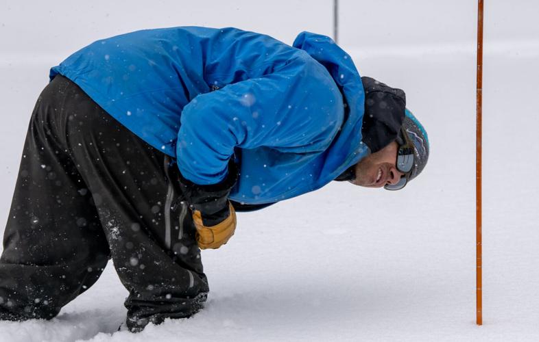
Since Jan. 1 moderate to large-scale snow storms have been entering Colorado about every five to seven days, including the most recent mid-March storm that dropped between 1-5 feet of snow across the state.
Current weather projections from the National Weather Service for precipitation and temperatures between 8-14 days out look favorable for augmenting and sustaining snowpack into early April.

8-14 day precipitation outlook for Colorado March 27 - April 4, 2024
From March 27 - April 4, all of Colorado has a 33% to 50% chance of 'above' average normal precipitation chances according to the National Oceanic and Atmospheric Administration's forecast.

8-14 day temperature outlook Colorado March 27 - April 4, 2024.
From March 27-April 4, all of Colorado has a 40% to 50% chance of 'below' average normal temperatures, according to the National Oceanic and Atmospheric Administration's forecast.
Both the precipitation and temperature forecasts for the Week 3-4 outlook (March 30 - April 12) have Colorado's precipitation at 50% to 60% above average and temperatures at equal chances (seasonally) respectively.
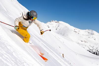
Spring skiing is in full swing
As winter's snowpack goes from fully frozen to fully melting, spring skiing from Steamboat to Wolf Creek is in full swing. Mank, corn, slush, squishies, slop-powder, whatever the moniker used to describe spring snow is, Colorado's skiers and riders can forget the dismal start to winter 2023-24 thanks to Mother Nature, but El Niño, too.
According to NOAA, the polar jet stream is located between 50°-60° latitude lines in both the northern and southern hemispheres, while the subtropical jet stream is located around the 30° latitude line.

Cross section of the Northern Hemisphere showing jet streams and tropopause elevations.
Throughout winter 2023-24, storms have regularly been conveyor-belted into Colorado's mountains via a slightly more northern subtropical jet stream. The subtropical stream was hovering around 35° latitude or approximately as far north as Phoenix, creating "atmospheric rivers" or "pineapple expresses," terms used to describe heavy moisture flows inland from the Pacific Ocean during winter.
And Colorado experienced several of these events all adding up to a wet winter with ample snow.
Ski areas and resorts such as Wolf Creek (288"), Winter Park (305") and Steamboat (342") have all benefitted from winter snows so far.
But will younger skiers and riders be able to enjoy these types of events and spring skiing in the future?
Ski and ride it now, the future looks rough
A team of four climate scientists, Veronika Mitterwallner, Manuel Steinbauer, Gregor Mathes and Anna Walentowitz, had their peer-reviewed study published online on the online journal platform Plos One on March 13.
"Global reduction of snow cover in ski areas under climate change" talks about how climate change is affecting long-term snow cover days (SCD) at the planet's seven major mountain areas and the results show some interesting details about the future of snow around the world and in North America.

Annual snow cover days between historical times (1981–2011) and the end of the century (2071–2100) in current ski areas of the seven major mountain regions worldwide as a) trends for low (SSP1-2.6, green), high (SSP3-7.0, yellow) and very high (SSP5-8.5, violet) emissions scenarios and as b) violin plots under a high emissions scenario. The median and the 5%;95% confidence intervals are indicated by black lines and the width and length of the violins show the total number of ski areas. Letters above the violin plots indicate significant differences between groups (Kruskal-Wallis test, Pairwise Wilcoxon test with Bonferroni correction, e.g. a differs significantly from b, c, and d).
Three key takeaways from the study:
- Annual snow cover days (SCD) in the seven major mountain areas (Andes, Appalachian, Australian Alps, European Alps, Japanese Alps, Rocky Mountains and Southern Alps) with downhill skiing will significantly decrease worldwide with climate change under very high, high, and low emissions scenarios.
- Mean annual SCD will decline by 43% (Andes), 37% (Appalachian), 78% (Australian Alps), 42% (European Alps), 50% (Japanese Alps), 23% (Rocky Mountains) and 51% (Southern Alps) by 2071–2100 relative to historic times (1981-2010).
- On average, annual SCD in many ski areas of the main global mountain regions will approach the threshold of 100 annual SCD by the end of this century. Despite similar losses in SCD, the Rocky Mountains will remain relatively snow reliable with on average 202 annual SCDs by the end of this century.
The study found 13% of all current ski areas are projected to completely lose natural annual snow cover and one fifth will experience a reduction of more than 50% by 2071–2100 relative to historic baselines.
What does this mean for Colorado? According the study, Colorado ski areas and resorts along with most interior and western North American areas will lose SCDs to the tune of around 25% starting in 2071. From 2011-2040, the projection drops to around 235 SCDs.

A map of the percentage change in annual snow cover days for the Rocky Mountains and ski areas of the American West.
Ski areas and resorts in the intermountain west, including Wyoming, Utah, Montana and eastern Idaho, are forecast to see the least amount of SCD loss (~25%) from 2071-2100, but areas and resorts farther west and northwest could see SCD loss up to 75-85% from 2071-2100.
To complement the Plos One study, data current to 2017 from the National Snow and Ice Data Center on snow cover duration in the Northern Hemisphere show it has been decreasing in the months of March and April steadily since 1986, with 19 Marches and 22 Aprils having below average snow cover in the northern half of Earth.
"Across the world, more than a billion people rely on snow as a resource for drinking water, irrigation, and/or hydroelectric power," NSIDC said. "Significant changes in how long snow persists on the ground can change the timing and amount of available water for communities dependent on snowmelt."
Emissions play a key role in the survival of SCD into the future, which correlates to living in more densely populated areas like Denver, Seattle, Salt Lake City and San Francisco compared to less densely populated areas like Wyoming, Montana, Idaho and Nevada.

Annual snow cover days affected by high emissions by 2100.
The study found that ski areas in highly populated areas will be most affected by decreasing annual SCD and are projected to decline by 55% and 49% — very high and high emissions scenario — from on average of 194 SCD in the historic timeframe between 1981–2010 to 112 and 125 — very high and high emissions scenario — SCD in the future.
From 2041–2070, annual SCD in highly populated areas will decline by 40% and 39% to 142 and 153 annual SCD on average.
The study even said under a low emissions scenario, SCD will be reduced.

Annual snow cover days affected by low emissions by 2100.
Annual SCD will be less pronounced in intermediately populated areas with a decline of 43% and 38% — 218 to 146 and 153 mean annual SCD — and poorly populated areas with a reduction of 38% and 33% —222 to 156 and 161 mean annual SCD — annual SCD in the future.
The take, skiing and riding while living near denser populations will decrease snow cover days
"We illustrate in this study that outward parts of mountainous areas and coastal ski areas are most affected by global warming," the authors said. "In the future, present ski areas will concentrate toward continental regions and central parts of the mountain ranges in higher elevations."
"We conclude that whilst the ski market is not projected to decrease in the near future, higher elevated and less populated ski areas will be expanding in size and infrastructure."


(0) comments
Welcome to the discussion.
Log In
Keep it Clean. Please avoid obscene, vulgar, lewd, racist or sexually-oriented language.
PLEASE TURN OFF YOUR CAPS LOCK.
Don't Threaten. Threats of harming another person will not be tolerated.
Be Truthful. Don't knowingly lie about anyone or anything.
Be Nice. No racism, sexism or any sort of -ism that is degrading to another person.
Be Proactive. Use the 'Report' link on each comment to let us know of abusive posts.
Share with Us. We'd love to hear eyewitness accounts, the history behind an article.