
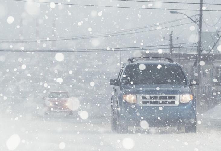


Snow is starting to fall fast on Colorado's Front Range – just in time for rush hour traffic. The National Weather Service has warned the public about possible impacts, including limited visibility on roads and expected travel delays.
While the National Weather Service (NWS) isn't calling for much ice on the roads, they are calling for extremely limited visibility due to snow. Snow is expected to fall at about one to two inches per hour, pulling visibility back to potentially less than a quarter mile. This will likely make travel dangerous. The NWS has urged those on the Front Range and in the northern and central mountains to avoid travel as conditions worsen.
Hour-by-hour forecasts around much of the impacted area show a high likelihood of snow falling throughout the night.
See a breakdown of expected accumulation on the map below:

Map Credit: NWS.
This snow is going to be wet and heavy, likely to weigh down tree limbs and result in damage to branches. Avoid parking under, walking under, or standing under trees.
Find additional updates on the National Weather Service website.
STAY INFORMED: Sign-up for the daily OutThere Colorado newsletter here


(0) comments
Welcome to the discussion.
Log In
Keep it Clean. Please avoid obscene, vulgar, lewd, racist or sexually-oriented language.
PLEASE TURN OFF YOUR CAPS LOCK.
Don't Threaten. Threats of harming another person will not be tolerated.
Be Truthful. Don't knowingly lie about anyone or anything.
Be Nice. No racism, sexism or any sort of -ism that is degrading to another person.
Be Proactive. Use the 'Report' link on each comment to let us know of abusive posts.
Share with Us. We'd love to hear eyewitness accounts, the history behind an article.