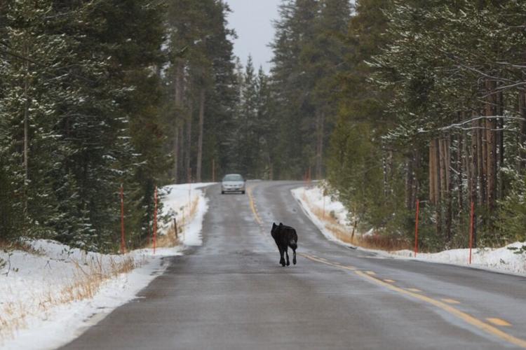
On Wednesday, March 27, Colorado Parks and Wildlife released their latest update to a map that tracks wolf movement in Colorado. The most recent update to the map covers movement from February 28 to March 25, showing which watershed areas collared wolves were detected in during that period.
The most recent release of the map shows several key differences compared to the version of the map that was released last month, perhaps most notably that wolves were not detected in the heavily-populated Larimer County during recent weeks. It also shows that wolves have been detected south of I-70 once again, in the area of Eagle County. While wolves had previously been detected south of this road, they were not shown in this area on the map that was released last month.
Another significant difference between the range where wolves were detected between the last map release and the more recent one is that wolves have been detected moving further west into remote Rio Blanco County.
See both maps below, starting with the most recent map:

Watersheds where wolves were detected at some point between February 28 and March 25. Map Credit: Colorado Parks and Wildlife.

The is the older map, displaying what watersheds wolves were detected in at some point between January 23 and February 27. Map Credit: Colorado Parks and Wildlife.
Another interesting detail provided with the release of the map is that there were no known wolf moralities or reported livestock depredation situations during the time frame noted on the most recent map. Wildlife officials also noted that while the tracking collar on one wolf has failed, this wolf is known to be traveling with another wolf that is being successfully tracked. Additionally, the collar on another wolf has been malfunctioning and may fail in the near-future.
It must be mentioned that these maps are based on watershed regions, with indicators that a wolf is present in a watershed area not meaning that wolves are present in the entire watershed region highlighted on the map or present for the entire extent of the date range. Authorities are able to see where wolves have been, but not in real time. They are also unable to predict where wolves will go next.
Find updates to this map, posted on the fourth Wednesday of each month, here.
STAY INFORMED: Sign-up for the daily OutThere Colorado newsletter here


(0) comments
Welcome to the discussion.
Log In
Keep it Clean. Please avoid obscene, vulgar, lewd, racist or sexually-oriented language.
PLEASE TURN OFF YOUR CAPS LOCK.
Don't Threaten. Threats of harming another person will not be tolerated.
Be Truthful. Don't knowingly lie about anyone or anything.
Be Nice. No racism, sexism or any sort of -ism that is degrading to another person.
Be Proactive. Use the 'Report' link on each comment to let us know of abusive posts.
Share with Us. We'd love to hear eyewitness accounts, the history behind an article.