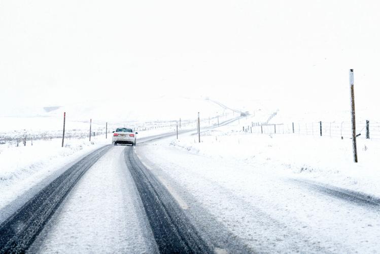


It's looking like another round of big snow is setting up to hit Colorado over the next few days from March 28 through the morning of March 31, with parts of the state getting up to 24 inches in the most likely scenario, potentially more if the 'high-end' scenario takes place. That said, while the northern and western mountains are expected to get plenty of fresh powder, most population centers around the state should be missed, according to the National Weather Service.
Mapping shows that the Steamboat Springs area should get the most snow – but in the mountains to the east and north, not in the city itself. Peak snow totals in this area could land somewhere in the 24 to 30-inch range.
Meanwhile, mountains north of Glenwood Springs, those north of Vail, and those south of Aspen could get more than a foot of snow.
In both the 'high-end' one-in-10 chance scenario and the 'expected' 80 percent chance scenario, the Front Range cities and Grand Junction are missed.
See both scenarios depicted on maps below, starting with the 'expected' more-likely scenario and then showing the 'high-end' scenario:

The 'Expected' snowfall scenario. Map: National Weather Service.

The 'high-end' snowfall scenario. Map: National Weather Service.
While National Weather Service shows that the northern part of the state should get the most snow over the next four days, most of those deeper totals will miss the resorts in the area. OpenSnow.com is predicting that the most snow to land at a resort will be 16 inches at Crested Butte over the next five days.
It's also worth noting that another chance of heavy snow is predicted to land from April 4 to April 7, spanning much of the northern portion of the state.
Find additional snow forecast information on the National Weather Service website.
STAY INFORMED: Get free Colorado news with our daily newsletter (Click here)


(0) comments
Welcome to the discussion.
Log In
Keep it Clean. Please avoid obscene, vulgar, lewd, racist or sexually-oriented language.
PLEASE TURN OFF YOUR CAPS LOCK.
Don't Threaten. Threats of harming another person will not be tolerated.
Be Truthful. Don't knowingly lie about anyone or anything.
Be Nice. No racism, sexism or any sort of -ism that is degrading to another person.
Be Proactive. Use the 'Report' link on each comment to let us know of abusive posts.
Share with Us. We'd love to hear eyewitness accounts, the history behind an article.