


According to Dolores County Search and Rescue, both skill and luck were notable factors in a successful mission on one of Colorado's highest mountains over the weekend.
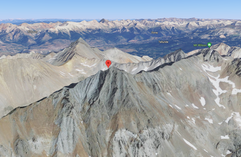
At about 10 PM on Sunday, July 31, Dolores County Search and Rescue responded to a climber with a broken leg at about 14,020 feet of elevation, near the summit of 14,175-foot El Diente Peak – typically a class three climb.
The climber had taken a fall and while his backpack kept rolling hundreds of feet down the mountain, the 44-year-old male came to rest on a ledge. Thankfully, the climber managed to keep his inReach emergency GPS communication device with him during the fall, using it to call for help.

The red arrow shows the rough location of the injured hiker. Arrow placed on image by the San Miguel County Sheriff's Office. Image Courtesy: San Miguel County Sheriff's Office.
Once the call for help was received, parties entered the field to locate and extract the climber with bad weather on the horizon.
A number of factors led to search and rescue teams opting to use a short-haul rescue technique, which basically means that the subject is picked up by a rope that hangs beneath a helicopter that then takes them to a landing zone.

Photo Credit: Dolores County Search and Rescue.
The subject was loaded into the carrying device and hauled 5.5 miles through the air to the landing zone before the helicopter made a return trip for rescue personnel left on the peak. The return trip to rescue personnel left on the mountain was "a bit wet," with that weather becoming a torrential downpour by the time rescue personnel was "on the line."
The mission was ultimately completed four-and-a-half hours after it was launched.
A press release about the mission noted that while "skill was paramount in this mission, [...] luck also played a huge part."
In regard to the "luck" that was involved, the Mesa Verde Helitack helicopter that was used in the mission was set to leave for California the next day, which would have made it impossible to use in the mission in which it played such a key role. The crew also noted how lucky the climber was to have been stopped by the ledge, also fortunate to hang on to his inReach despite his backpack falling much farther. On top of that, crews stated that even just a 15-minute delay would have made the short haul approach impossible. The luck also continued with the ambulance at the landing zone narrowly being able to leave the scene just minutes before the road used to access the area was washed out, still closed as of Sunday evening.
While it's unclear exactly what was behind this climber's fall, several lessons can be learned from this incident.
One important lesson is the importance of being wary of bad weather while in the mountains, even when it may seen as if a safe weather window exists on an otherwise cloudy day. In this case, the climber may have been able to hike back to treeline within an assumed weather window if everything went according to plan, but when the accident took place, it meant spending several more hours above treeline – weather suddenly became a much more significant factor. This shows how its important to make hiking plans with accidents and delays in mind, always aiming to have as much clear weather time as possible – in this case, 15 minutes made the difference between this rescue being successful and rescue crews getting caught in bad weather that would have prevented the helicopter use and likely several other rescue options. Had that 15-minute delay taken place, who knows what the outcome of this mission would be.
This case also goes to show the importance of making sure a means of communication is maintained throughout a high-risk hiking experience. Fortunately, this hiker's inReach emergency communication device wasn't in or attached to his backpack, but was on his person. Otherwise, his ability to call for help would have been tumbling down the mountain along with much of his other survival gear.
Thanks goes out to crews involved in this mission, including Dolores County Search and Rescue, Rico Volunteer Fire Department, West Fork Volunteer Fire Department, Mesa Verde Helitack, San Miguel Search and Rescue, Southwest Memorial Ambulance, Dolores County Sheriff's Office, Colorado Search and Rescue Association, and Durango Interagency Fire Rescue.
Colorado's search and rescue effort is volunteer-driven. Those interested in helping to support this effort may consider purchasing a CORSAR card, which is only $3 per year.
STAY INFORMED: Sign-up for the daily OutThere Colorado newsletter here


(0) comments
Welcome to the discussion.
Log In
Keep it Clean. Please avoid obscene, vulgar, lewd, racist or sexually-oriented language.
PLEASE TURN OFF YOUR CAPS LOCK.
Don't Threaten. Threats of harming another person will not be tolerated.
Be Truthful. Don't knowingly lie about anyone or anything.
Be Nice. No racism, sexism or any sort of -ism that is degrading to another person.
Be Proactive. Use the 'Report' link on each comment to let us know of abusive posts.
Share with Us. We'd love to hear eyewitness accounts, the history behind an article.